


What Is a Lake Effect Snow Warning?
Lake effect snow is a weather phenomenon when dry air passes over warm lake water. The air collects moisture and heat and then rises into the atmosphere. It cools quickly and falls as heavy snow. This phenomenon causes extreme snow accumulation in specific parts in patches. The average snowfall during these times is 15+ cm, equivalent to a storm. Lake Effect Snow is common in late fall and early winter when lakes are still warm and the air is frigid. It often triggers warnings because this phenomenon causes sudden whiteouts. Road travel is extremely dangerous in such situations. The warning is initiated to warn locals about heavy snow and travel restrictions.

Timing and Frequency: When Does It Happen?
The Lake Effect Snow is quite rare but recurrent in specific regions. It occurs in late fall and early winter. If you’re in southern Canada, you can expect a Lake Effect Snow warning between November and January. It’s the time when the Great Lakes are still relatively warm and cold Arctic air begins sweeping in from the north.
The frequency of Lake Effect Snow depends on the timeframe. The highest warnings are issued from November to January. The lake freezes in January which reduces the chances of Lake Snow Effect as it depends on the warm air rising from the Great Lakes. The direct relationship between lake water and cold air affects its frequency.
Here's a timeline of the lake-snow effect with severity and average number of events:
|
Month |
Lake Status |
Cold Arctic Air |
Snow Effect Likelihood |
Severity |
Typical Events |
|
October |
Warm, unfrozen |
Light |
Low |
Mild |
0–2 |
|
November |
Warm |
Frequent fronts |
High |
Moderate–Severe |
3–5 |
|
December |
Cooling, open water |
Strong |
Very High |
Severe |
5–8 |
|
January |
Partial ice cover |
Strong |
Moderate–High |
Moderate–Severe |
3–6 |
|
February |
Mostly frozen |
Cold |
Low |
Mild |
0–2 |
|
March |
Frozen |
Weak |
Rare |
Mild |
0–1 |
Weather Mechanism: How Does It Form?
Lake-effect snow isn’t a complex phenomenon. It occurs naturally without external triggers. We will explain the process step-by-step for better understanding.
Cold Air Arrives
The lake-effect snow starts from the Great Lakes like Lake Erie, Huron, or Ontario. From November to January dry Arctic air flows over the warm and unfrozen lake surface. There's a significant temperature difference between the air and the lake water.
Air Picks Up Moisture
As the cold air flows over the warm lake, it absorbs moisture and heat. The temperature difference and moisture make the air humid and unstable. This air finds its way to escape into the atmosphere.
Air Rises and Cools
The warm and moist air rises into the colder atmosphere above. As it rises, the temperature drops and the air turns cold again. The moisture in the air forms snow clouds. At this stage, the lake-snow effect is triggered.
Snow Clouds Form
As steady winds blow across the lake in a consistent direction, the clouds grow rapidly in number. They form into narrow snow bands and spread in alignment. It’s the reason this effect is observed in specific areas only.
Heavy Snow Falls Downwind
The cloud formation results in snowfall. Some areas can get 15+ cm of snow in a few hours while neighboring towns stay dry. It feels catastrophic because citizens are limited to their homes. The roads are not driveable and sometimes blackouts also occur.
It Ends When Lakes Freeze or Winds Shift
The lake-effect snow doesn't last longer or throughout the winters. It usually doesn't happen after mid-winter. During peak winter, the Great Lakes start to freeze and the arctic winds change their direction. The temperature difference that triggers the effect also diminishes.
Geographic Zones: Where Does It Hit Hardest?

Lake Effect Snow hits the southern part of Canada due to the presence of the Great Lakes. The region comes under the influence of the downwind of the Great Lakes. It is often referred to as the Snow Belt due to excess snowing.
The amount of snow and severity of the lake-effect snow depends on the "fetch distance" associated with the lakes in the region. It's the length of open water over which cold winds travel. The longer the fetch, the more moisture the air picks up, resulting in heavier snowfalls.
The met department has segregated key areas that are severely affected by the lake-snow effect. The regions are segregated based on nearby lakes.
Lake Huron & Georgian Bay
The areas in this region like Bruce Peninsula, Grey County, Owen Sound, and Barrie are frequently hit with lake-effect snow storms. Westerly or northwesterly winds blow across Lake Huron and Georgian Bay causing the effect to formulate in this region.
Lake Erie
Lake Erie has an impact on the Niagara Region, including St. Catharines and Fort Erie. These areas often experience heavy snowfall when cold air travels over the relatively shallow and warm waters of Lake Erie. If you're living near these areas, you're more likely to face frequent and intense lake-effect snowstorms.
Lake Ontario
Kingston, Prince Edward County, and the eastern GTA can be hit hard when cold northerly, or westerly winds move over Lake Ontario. These winds create narrow but powerful snow bands that can cause dangerous whiteouts and sudden accumulation. These areas are often seriously affected by lake-effect snow.
Midwestern Ontario
Regions like London, Goderich, and Huron–Perth counties are directly in the path of lake effect systems from Lake Huron. Historically, these areas have seen heavy snowfalls and received up to 60 cm of snow. If you’re from these areas, prepare ahead for lake-effect snow during mid-winter.
Warning Criteria: When Do Officials Issue Alerts?

Environment Canada is responsible for alerting the citizens in case of lake-effect snow in any area. The warning is issued when specific conditions are met that signal the potential for intense and hazardous snowfall.
The criterion to issue a lake-effect snow warning depends on the following conditions:
-
Snowfall of 15 cm or more within 12 hours in the region.
-
Visibility is reduced to 400 meters or less due to snow and blowing snow with strong winds.
-
Strong, steady winds aligned with open water (long fetch distance), allowing moisture to create heavy snow bands.
-
Rapid accumulation in localized areas, especially if it affects transportation routes or populated areas.
-
Persistent snow band formation lasting several hours or more increases the risk of prolonged whiteout conditions and significant disruption.
Environment Canada uses real-time radar, satellite data, and high-resolution weather models to predict the lake-effect snow conditions. They provide short-term alerts that help citizens prepare early and stay safe.
The citizens are alerted through the WeatherCAN app, the ECCC website, local and national media outlets, and radio. The warnings are issued for specific areas that are in the snow belt region. You may find the warning sudden because the phenomenon is hard to predict. It's recommended to avoid unnecessary travel and stay at home when warnings are issued.
Safety and Preparedness: What Should You Do?
Safety should always come first. If your area comes under the snow belt region, you should be prepared for emergencies. The lake-effect snow can be very disastrous. Here are practical tips to stay safe and secure during harsh weather.
Keep an Eye on Alerts
You should check weather alerts regularly when the lake-effect snow timeline approaches. It's important to be aware of the changing weather patterns to ensure preparedness. The WeatherCAN app provides frequent updates on weather and emergency alerts. You can also visit Environment Canada's website for real-time warnings and snow squall advisories.
Prepare Winter Emergency Kit
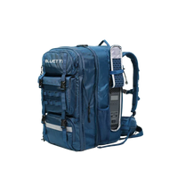
If you're living anywhere in Canada, a winter emergency kit is a must-have. If any mishap occurs like a power cut-off, travel restriction, injury, etc, you should be in a position to tackle the situation efficiently. The emergency kit should include flashlights & extra batteries, blankets & warm clothing, non-perishable food & bottled water, first-aid supplies, and a battery-powered radio or mobile charger.
Stock Up Early
Make a rule to stock up enough food, water, and medication for at least 72 hours in rough weather conditions. It keeps you on the safe side during worst situations like blackouts, road disconnectivity, and extreme snowing. If you were unable to stock up early, try to consume the supplies intelligently.
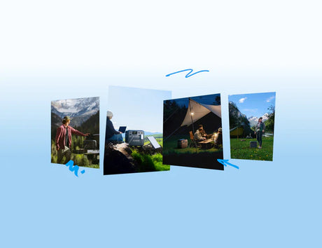
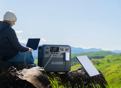
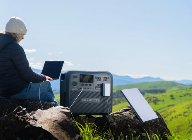
Prepare Power Backup
In this era, power is like a lifeline for most of us. The heating system in your home and all other essential equipment like medical devices run on electricity. Weather conditions like the lake-effect snow can cause blackouts and power cuts. If you're living in the snow belt region with high susceptibility to experience such catastrophic events you must have a proper power backup at home.

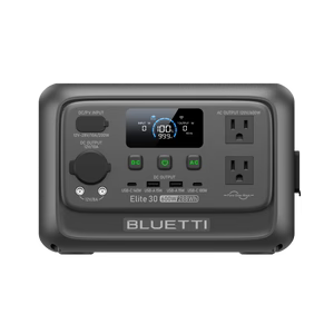
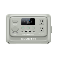
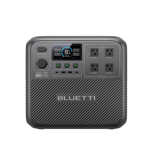
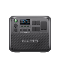
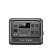
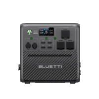
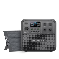
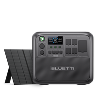
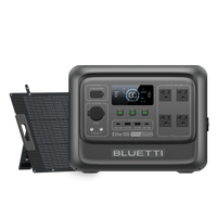
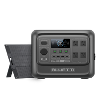
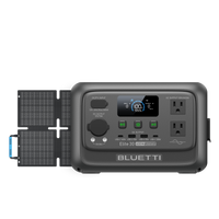
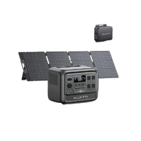
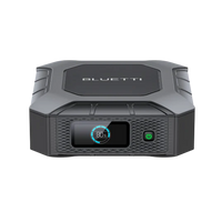
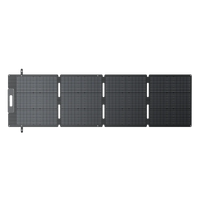
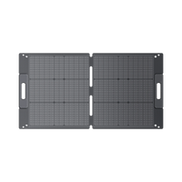
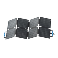
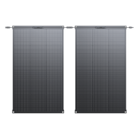
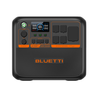
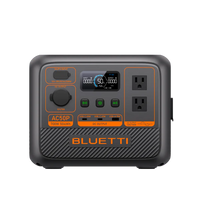
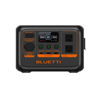
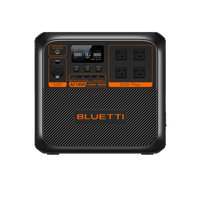
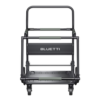
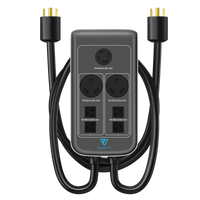
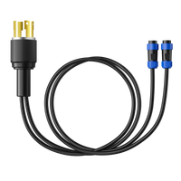
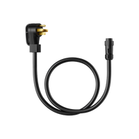
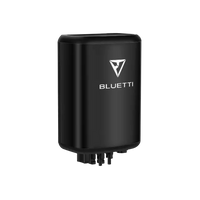
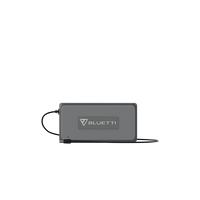
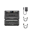
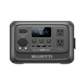
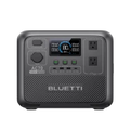
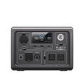
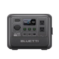
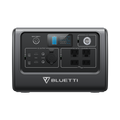
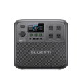
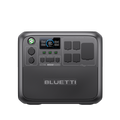
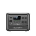
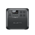
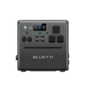
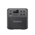
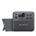
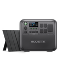
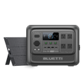
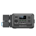
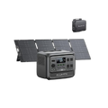
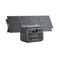
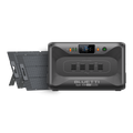
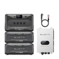
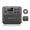
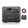
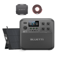
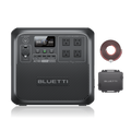
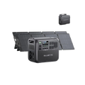
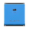
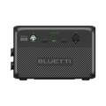
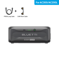
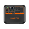
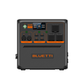
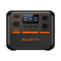
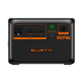
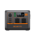
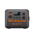
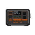
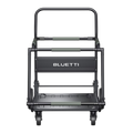
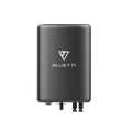
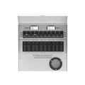
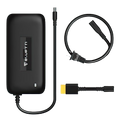
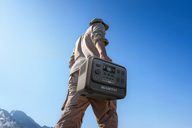
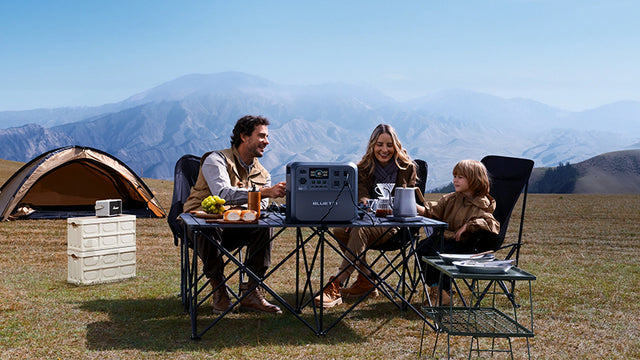
The BLUETTI Apex300 can be your ultimate power backup solution in such situations. It's a power beast with an enormous expandable capacity from 2.7 kWh to 58 kWh. It's not just power backup, it's complete energy independence that lasts for days. The power station supports both 120V and 240V, it's ready for everything from medical equipment to heavy routers to divert snow.
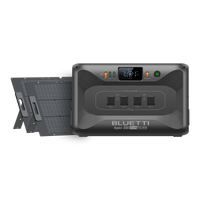
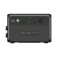
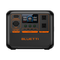
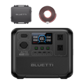
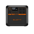
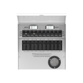
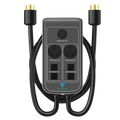
The BLUETTI Apex300 home battery backup has a UPS feature that seamlessly transfers power from the grid to battery packs in 0ms. All your essential appliances stay powered without interruption. It comes with advanced LiFePO4 battery packs that are known for their efficiency and durability. They offer 40% more battery life than conventional systems.
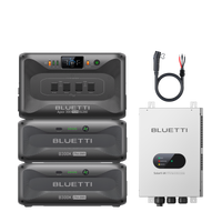
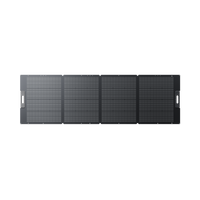
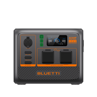
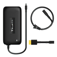
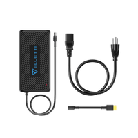
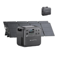
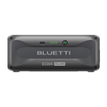
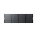
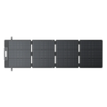
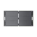
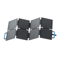
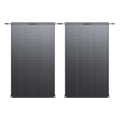
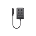
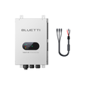
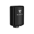
You can recharge the system with solar input of up to 30 kW. The latest BLUETTI SolarX 4K 4,000W PV voltage regulator enables fast recharging. You can also integrate this system with existing roof solar setups via AC coupling.
FAQs
Predictability and Volatility: Can It Be Forecasted?
The Lake Effect Snow is predictable but the accuracy is low. Forecasters use advanced tools like Doppler radar, wind direction models, and temperature maps to find snow bands that indicate the lake-effect snow. However, the snowbands disappear within a short period of time. The prediction is accurate for a short timeframe; hence, it is mostly used to issue warnings.
How Bad Has It Been?
Most people think that the Lake Effect Snow means more snow. However, it's an environmental hazard that can be disastrous. There are events in history when the effect has been deadly. In January 2022, news reported that the lake-effect snowstorm dumped over 50 cm of snow in a single day across Barrie, Ontario, and nearby regions.
The Weather Network reported that London, Ontario was hit by a multi-day lake-effect snowstorm. The snow gauge recorded 100 cm of snow in just 3 days. This record-breaking snowfall paralyzed the city, closing roads and stranding hundreds of motorists.
If we skim through the history, 2008 also recorded a severe lake-effect snowstorm that dropped more than 70 cm of snow. It was eastern Ontario that suggests areas away from the western Great Lakes region are also susceptible to the Lake Effect Snow.
Is It Getting Worse?
Climate change has a severe impact on the severity and recurrence of lake-effect snow storms. The lake water stays warmer for a longer period which triggers the lake snow effect. Additionally, reduced ice coverage on the Great Lakes allows for more moisture to be absorbed into the atmosphere, potentially leading to heavier snowfall.
Additionally, reduced ice coverage on the Great Lakes allows for more moisture to be absorbed into the atmosphere. It's a major cause of the lake-effect snow. You should enhance preparedness if living in the regions near the lake. The probability of getting stuck in heavy snow is higher in these regions. Heavy snow makes travel impossible and can keep you in the home for days without electricity and other amenities.